

The Monadnock-Sunapee Greenway
And The Wapack Trail

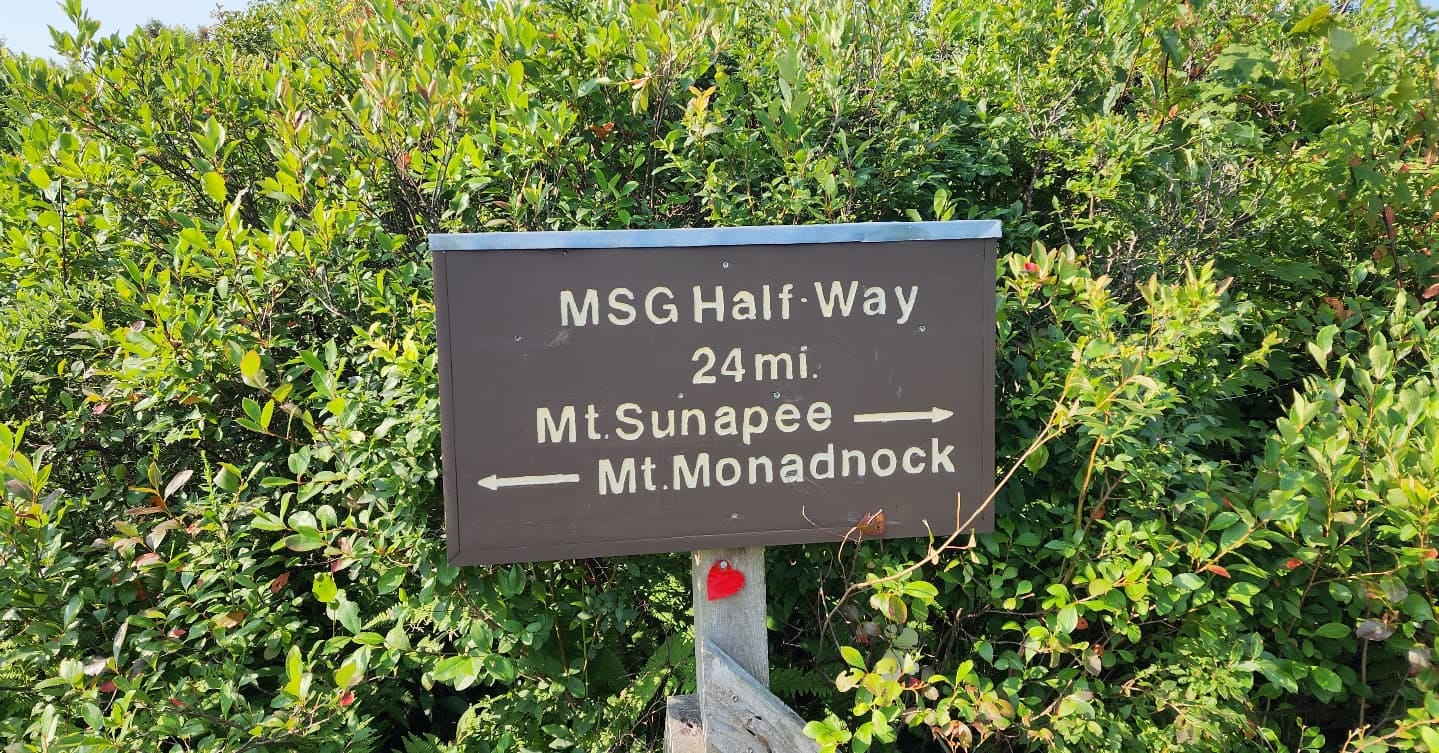
I’m hiking the Monadnock-Sunapee Greenway Trail. It’s a fifty mile trail from the summit of Mount Monadnock to the summit of Mount Sunapee. It ends up being more like 55 (depending on which trail you choose to take up or down either summit) miles maybe a few miles more or less, as you have to hike up or down from the summits of Monadnock and Sunapee whichever way you tackle the hike. It’s a lovely trail with some road walking involved. I have never done the whole thing in one shot. I’ve section hiked most of it though. There is one section that in order to get to I’ll have to hike a twenty-miler some day.
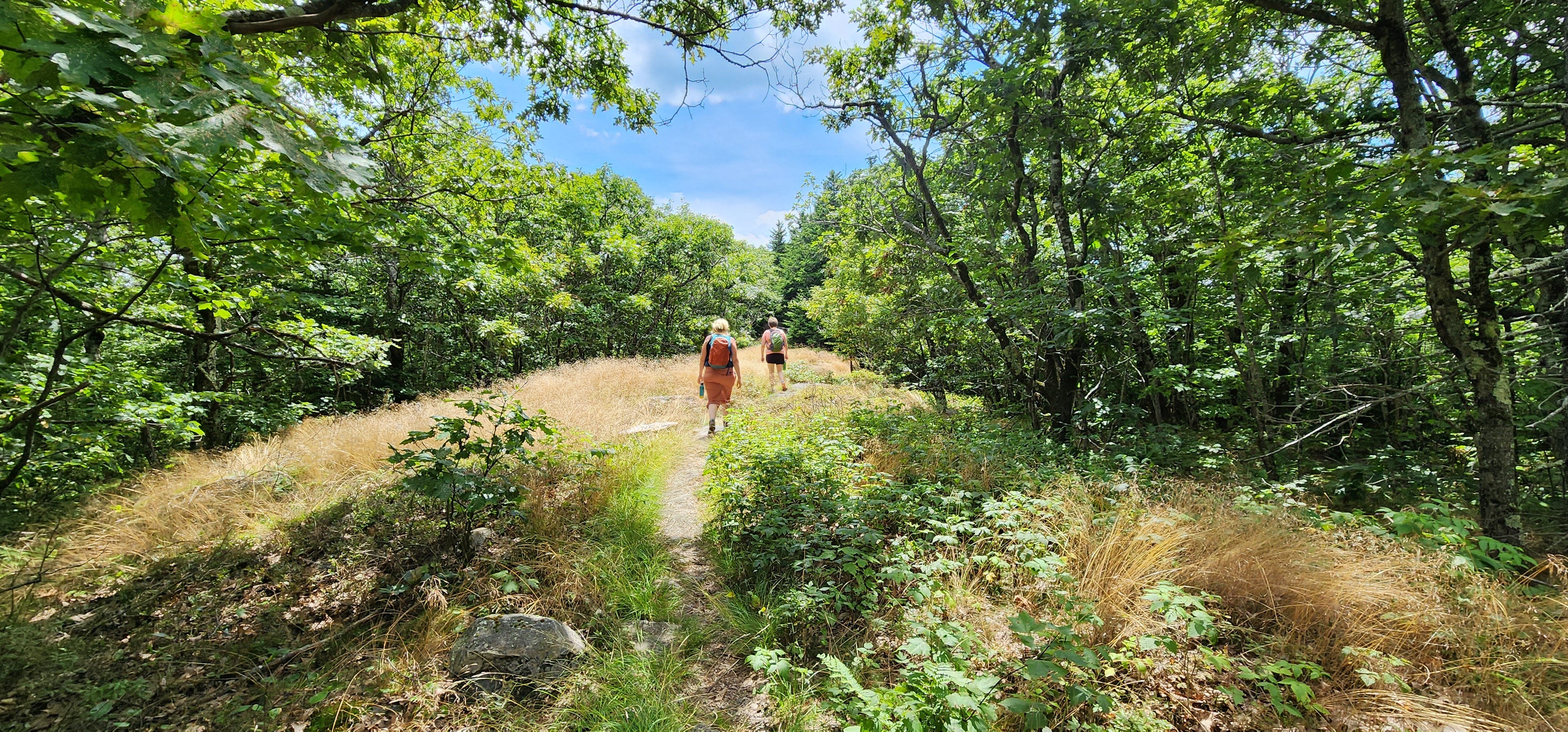
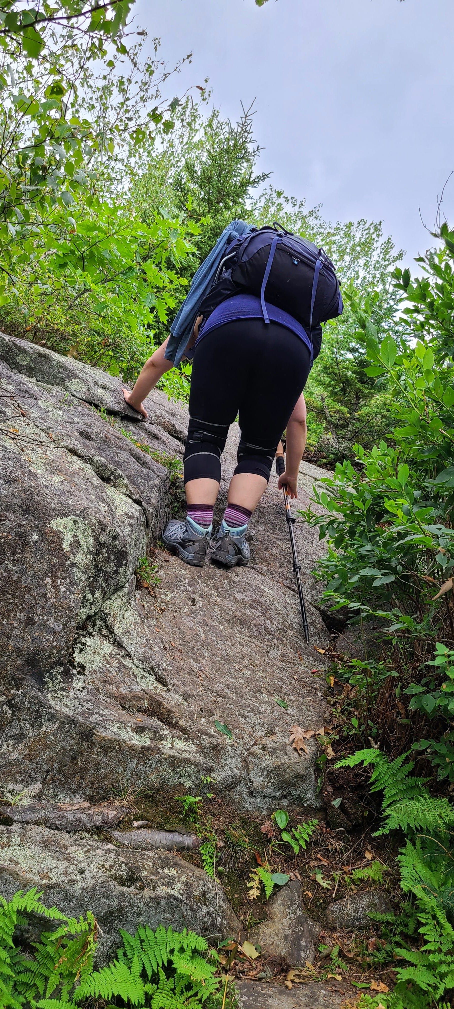
I’m with my sisters, P and Nema. We start out at the Pitcher Mountain trailhead. It’s a short steep hike up to the summit and the fire tower.


They are rebuilding the fire tower and it looks like some futuristic hellscape, encased in staging with large weather arrays sitting at the bottom, awaiting to be lifted to the top of the fire tower and mounted. The views are hazy from the wildfire smoke coming from the west. We don’t spend much time on the summit. We have miles to go before we sleep. I follow Nema’s back down the trail as it twists and turns through a mass of blueberry bushes. We eat a few as we go.


Kind of same spot: summer, winter, autumn.
I’m feeling pretty good in the cool morning. The last few hikes I have hiked have been real slogs. I think the slog was in my head.
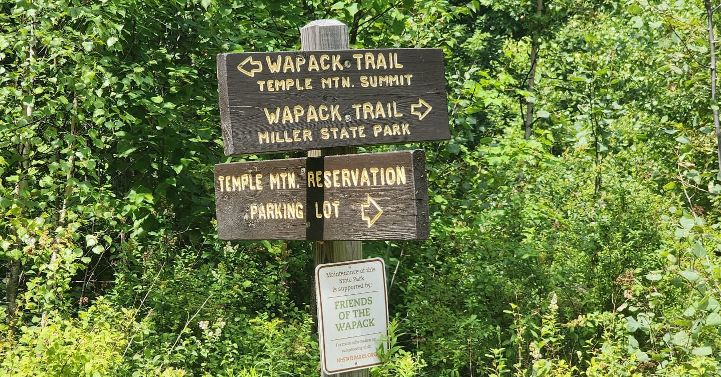
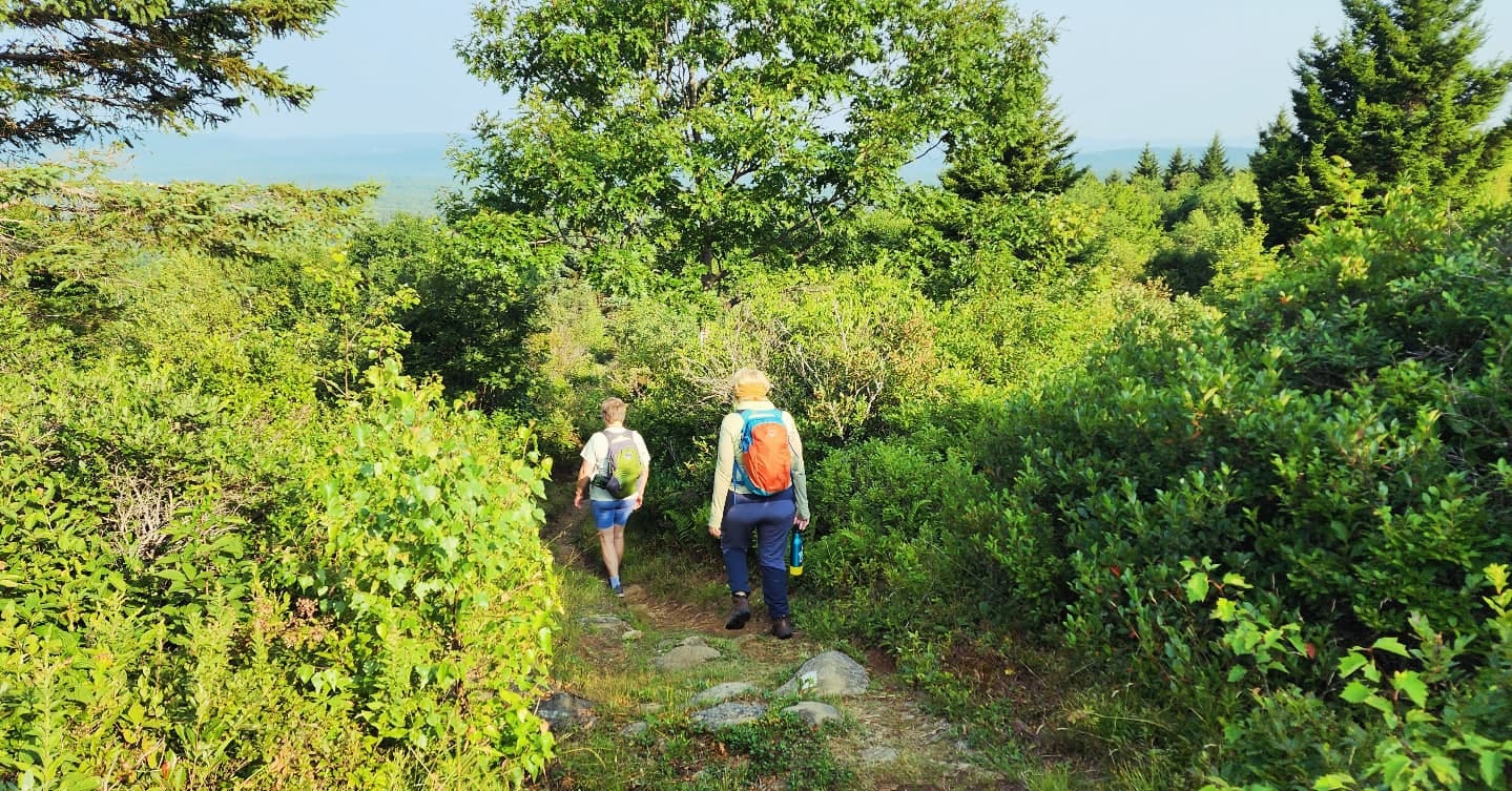
We did a hike a few days earlier, taking the Wapack trail up over Temple mountain across Burton’s Peak, over the Sharon Ledges and down, a short road walk, and then up a real long grinding hill to Windblown.
The Wapack is a 21 mile trail from Watatic Mountain over in Massachusetts to North Pack Monadnock. I slogged hardcore on that hike. But I just kept slogging until it was over so that counts for something.
The Wapack is one of my favorite trails ever. I especially like the section from Windblown to Mount Pratt. Mount Pratt is a steep up and always kicks my ass, but then you are up and away, just trekking across ridge lines that feel wilder and taller than they are. I especially like this as a snowshoe in winter. The wind carves the snowdrifts into magical sculptures, waves and ridges.


Sometimes you can see where an owl or a hawk came swooping down in the snow to catch a rodent- the life and death struggle that happened there, played out in the snow, perfect imprints of mighty wings, the mouse’s small delicate footprints, running to and fro. It’s unworldly and wonderful. Other times it will be encased in ice and snow. The sky, its winter gray, blending into the trees which are naked of their foliage, while the evergreens keep their big shaggy coats of snow, looming like giants in the distance as earth blends with sky, monochromatic. The Wapack is one of the oldest public multi-state trails in the US. It opened in 1923 and was conceived by a former president of the Appalachian Mountain Club and some farmers in 1922. The range, in that time, was called the Boundary Mountains. They thought about a skyline trail, and that year those same farmers started cutting the trail using hand-tools. What a magnificent legacy to leave. What a wonderful thing for my feet to tread so many miles on this trail over a hundred years later. Henry David Thoreau, who we don’t really appreciate, said of the Wapack Range “the most novel and interesting walk that I can think of in these parts”. Of course, he walked it some 60 or so years before it became the Wapack Trail. Even though Thoreau was a pretentious asshat, he did know a good trail when he walked it.
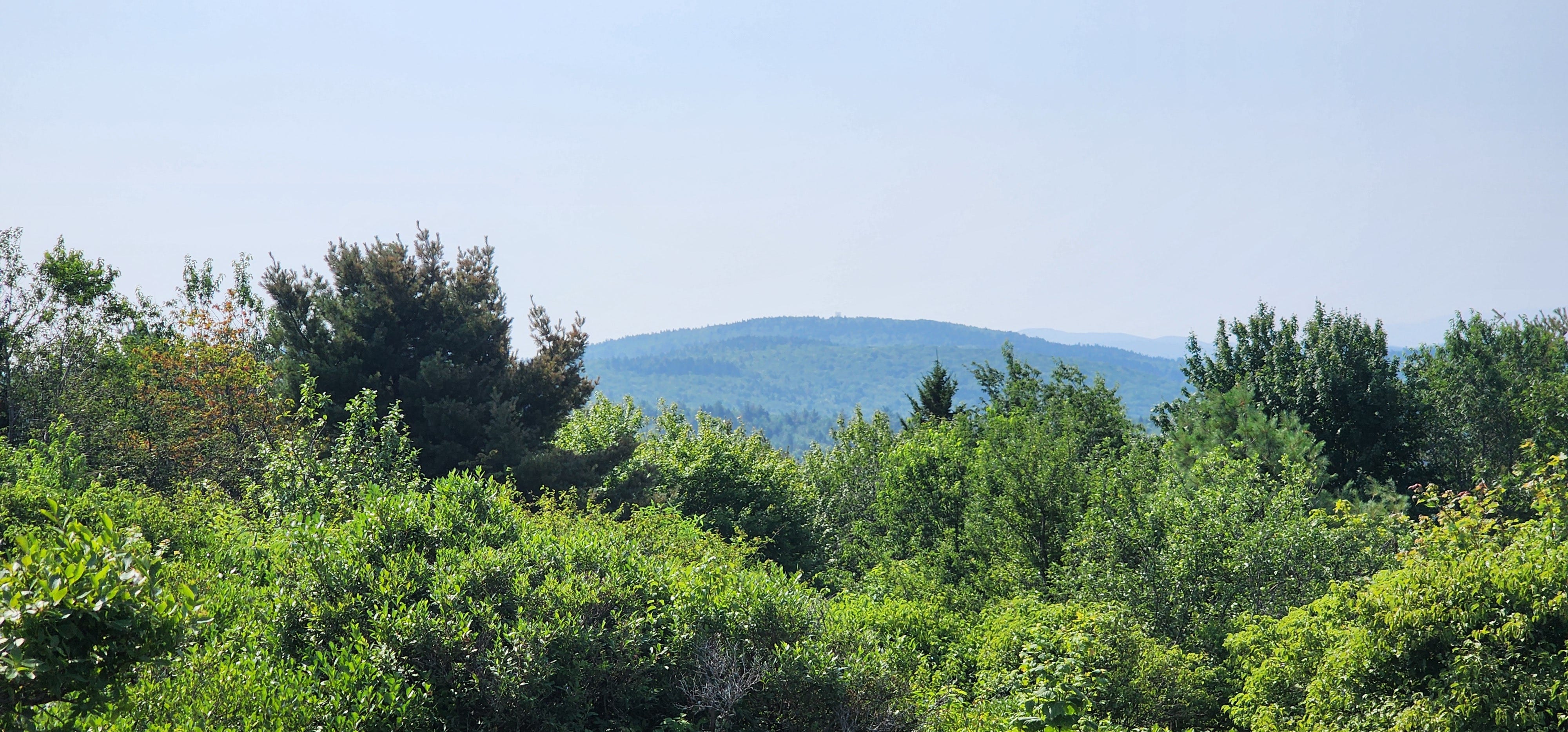
Looking back at Pitcher Mountain.
But back to my present hike. We follow the winding MSG up Hubbard Hill, through the blueberry barrens where you can pick them for two dollars a quart. The trail snakes through the blueberries, with a multitude of paths going off in all directions. Once back into the trees, the trail descends off Hubbard, crossing several small streams. Then it’s a long grind up to the top of Jackson. Nema and I have frequently done a sunrise hike up Pitcher mountain that evolved into an out and back to Jackson. Last time it had been in the spring. Snow still covered the ground and we didn’t have any snacks. We were ravenous about the time we hit the Fox Brook tent platform so we turned around and made our way back to the car.
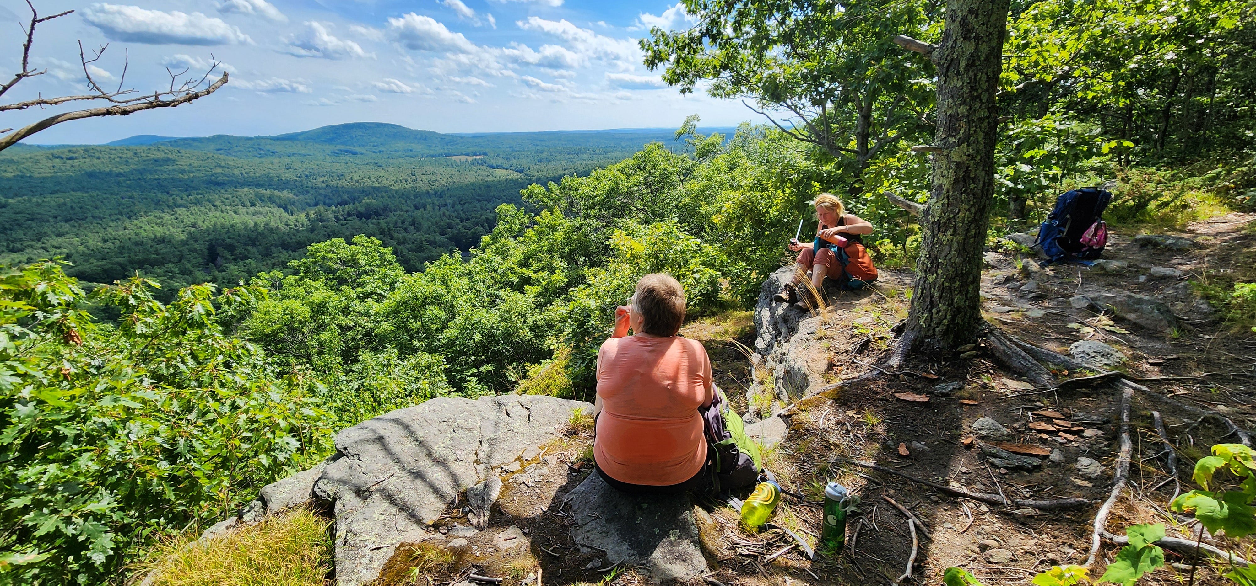
On the top of Jackson we sit on a giant slab of granite, looking back at the fire tower on Pitcher Mountain. It seems so far away. The views are still hazy. We have a little breakfast. I eat a peanut butter and jelly sandwich. It’s delicious. We are making our way to Washington Center. Then I might hike back or I might text Megan to pick me up at the general store. We ascend Jackson.


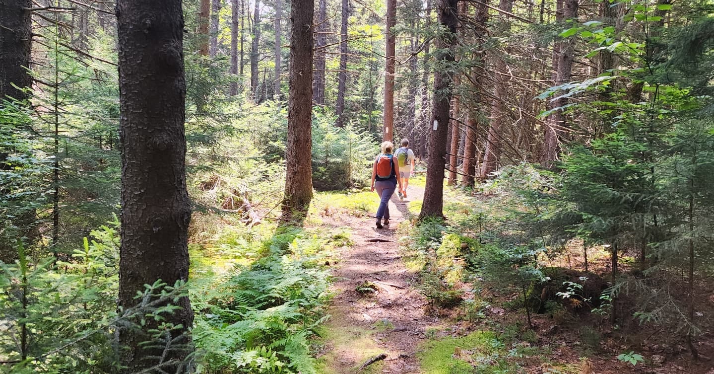
Nema and P and then Megan from a few years ago, same spot.
The trail is beautiful, winding passed glacier erratics and through fields of ferns. It’s still fairly cool under the tree canopy. In one spot, sunshine pools on the ferns through an opening in the trees.
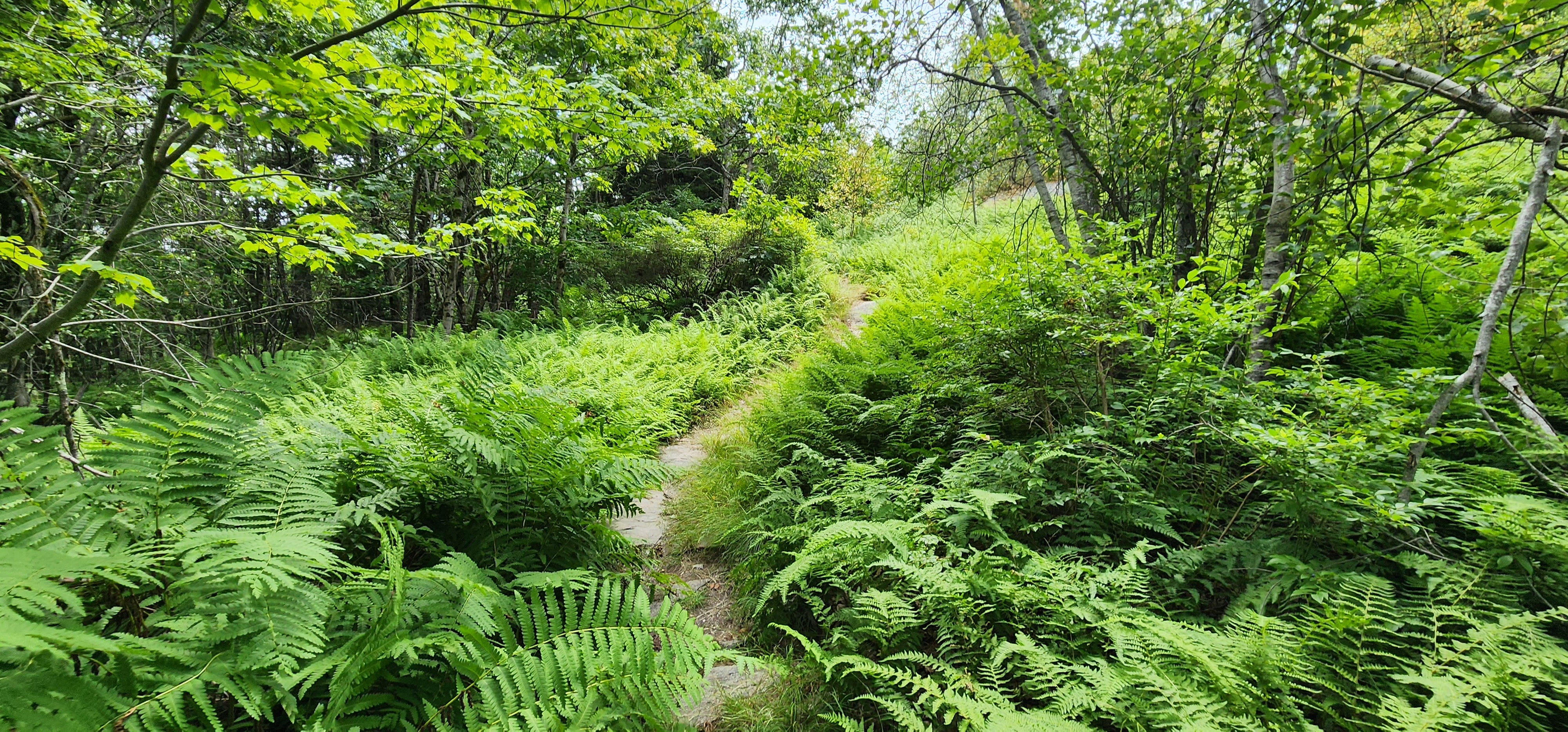
As I walk through it, a breeze kicks up, at first it’s warm, collecting all that sunshine heat. It smells like ferns; how only ferns can smell in sunshine. Heaven. The breeze blows the warmth and smell through me and then is nice and cooling. I hike hot, even in the winter in negative degrees, I’ll work up a sweat. So now, I feel that breeze drying the sweat on my face, and I’m the happiest I have ever been for that moment in time.
Megan going up Oak Hill a few years ago.
Megan and I hiked this section of the MSG once, just the two of us. The trail is full of memories of that hike for me. It was one of the best hikes of my life. I think about her as I pass by the giant glacier erratic. I think of her as I cross over the foot bridges and make my way around the pond. I look for moose, but don’t see any. There are many caterpillars and inch worms on the trail. Especially fat neon green caterpillars bump along across the trail. In the blueberry barrens we had seen an unbelievably green snake slither across the trail. We looked it up. It has the unimaginative name of Smooth Green Snake. For real, that’s its name. The trail down Jackson wants you to go all the way down to the center of the earth so you can hike back up a hill, which we do. The trail pops out on a class six road that turns into what New Hampshire calls a summer highway. There are some summer camps along the dirt road and it is not maintained in the winter time. We hike passed the first ever church of the Seventh Day Adventists. When Megan and I had hiked this section, we had met a man at this church who said that through hikers were always welcome to get water and sleep out back under the pavilion if weather was rough. He also said that any time we were hiking by and the church was having their potluck lunches or dinners, we could grab ourselves a plate and join them.
The summer highway ends on a paved road. The MSG follows it up a hideous hill: hot pavement, no shade, steep hill before it pops back into the woods. We sit on a stonewall where the trail re-enters the woods and have a snack. I take my phone out of airplane mode and text Megan, asking her if she’ll meet me at the Washington General Store. It’s about an hour drive for her. She agrees and she’ll get there roughly around the same time it takes me to get up and down Oak Hill and into town. Oak Hill kicks my ass. There’s a few little scrambles on the top. I’m feeling the miles so I feel clumsy when we hit those scrambles. In the hazy views on top of Oak Hill, we admire all the bumps and lumps we’ve just hiked over and appreciate the views of New Hampshire lakes spread out before us- they have names, but we don’t know them looking down from above. They had logged the other side of Oak Hill since Megan and I had hiked down it. The new growth of ferns and brambles have taken over the logged parts. Blackberry brambles grow along the MSG, their trailing vines crossing the path under the ferns. My shins and calves are raked and scratched by the time we get to the bottom of Oak Hill. We cross the stream and take a peek around the George Washington Shelter. An old man who lived nearby used to take care of this shelter. You could resupply your water at his house if you didn't want to filter out of the stream, and he’d leave bug spray and first aid kits tucked away at the shelter. It doesn’t look cared for, and we wonder if the old man died.
George Washington Shelter on a hike a few years ago. My sisters, Annie and Nema.
We leave the shelter behind, following the trail until it pops out on a dirt road which leads to pavement. The paved road takes us into the center of the town of Washington, New Hampshire.
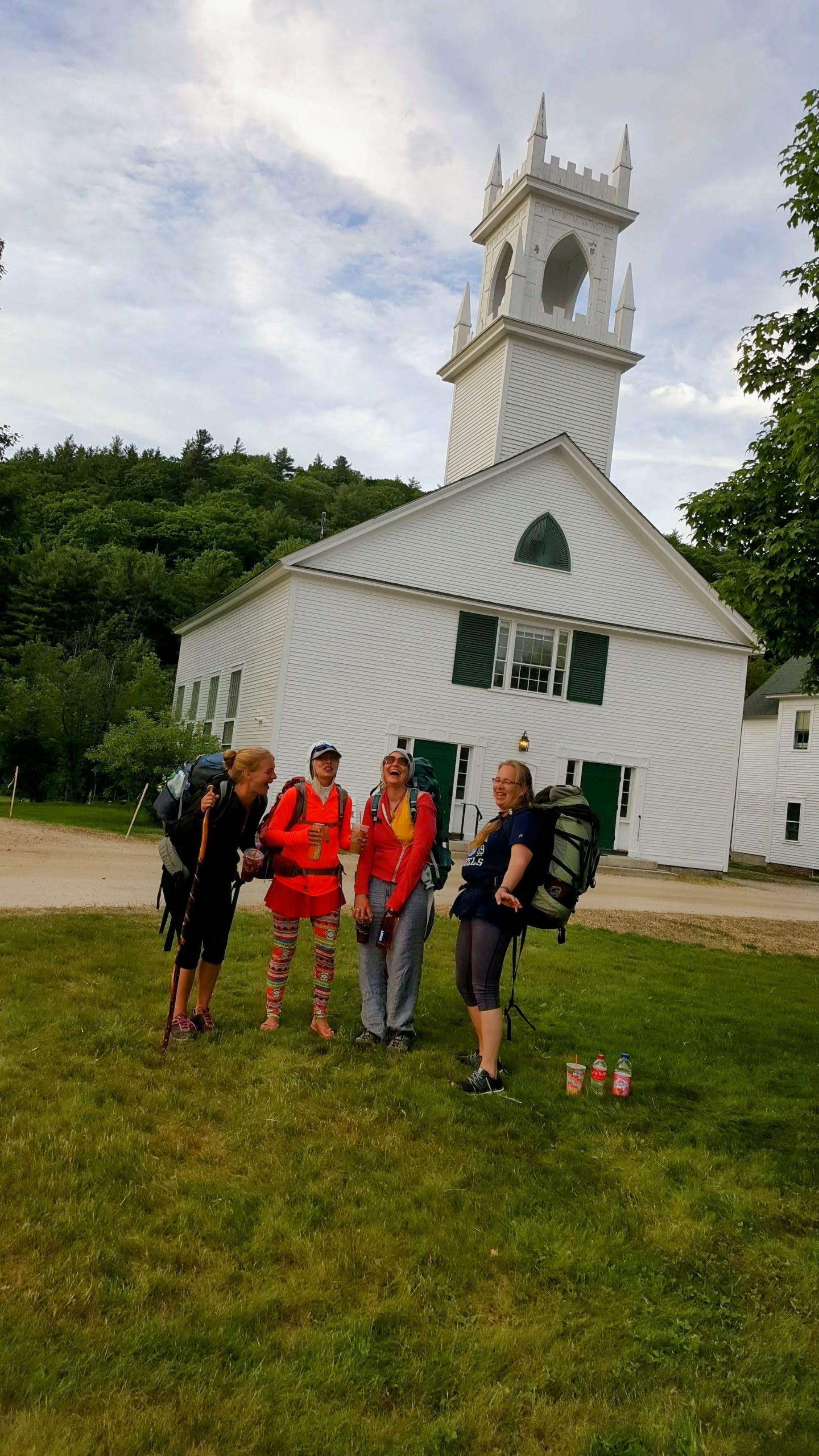
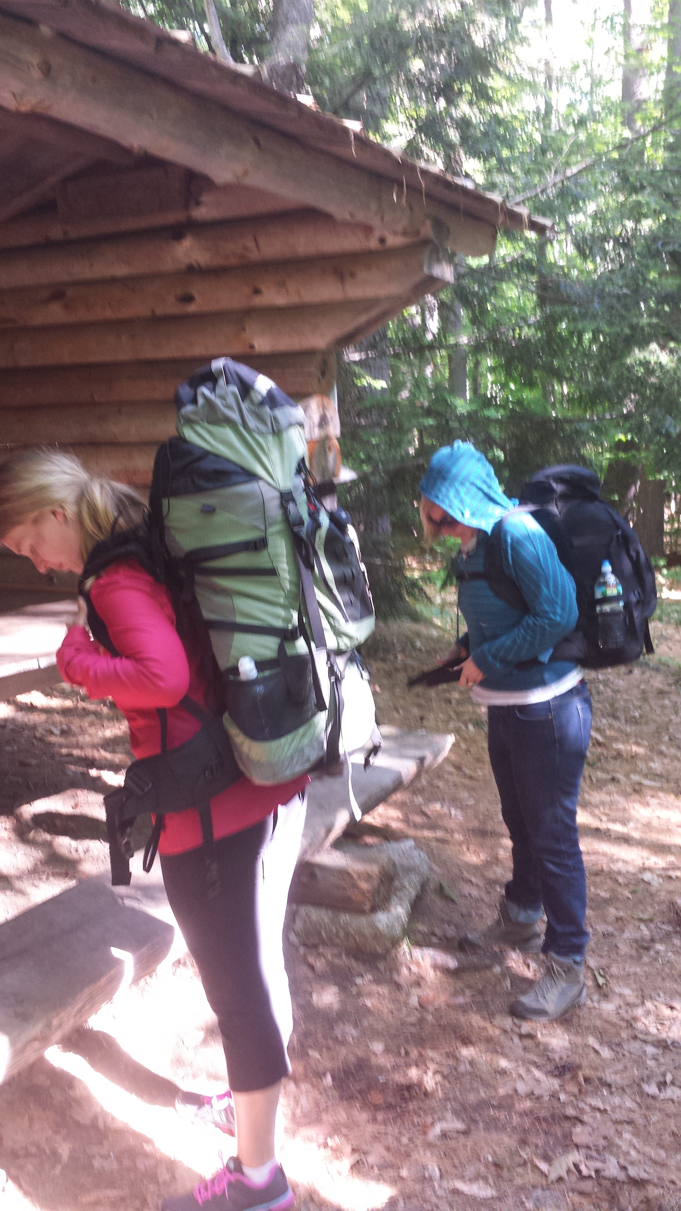
I only have hiker pictures of the church downtown. I was being a trail angel for my sisters, Annie, Lyra, Nema, and P. when they were through hiking the MSG. I met them with Pizza and Coffee after they'd hiked 20+ miles from Mount Sunapee.
It’s quintessential New England; rambling old Victorians, churches with white steeples. We go to the left where the trail follows the road to the right. I see Henry in the general store parking lot and I’m so happy.
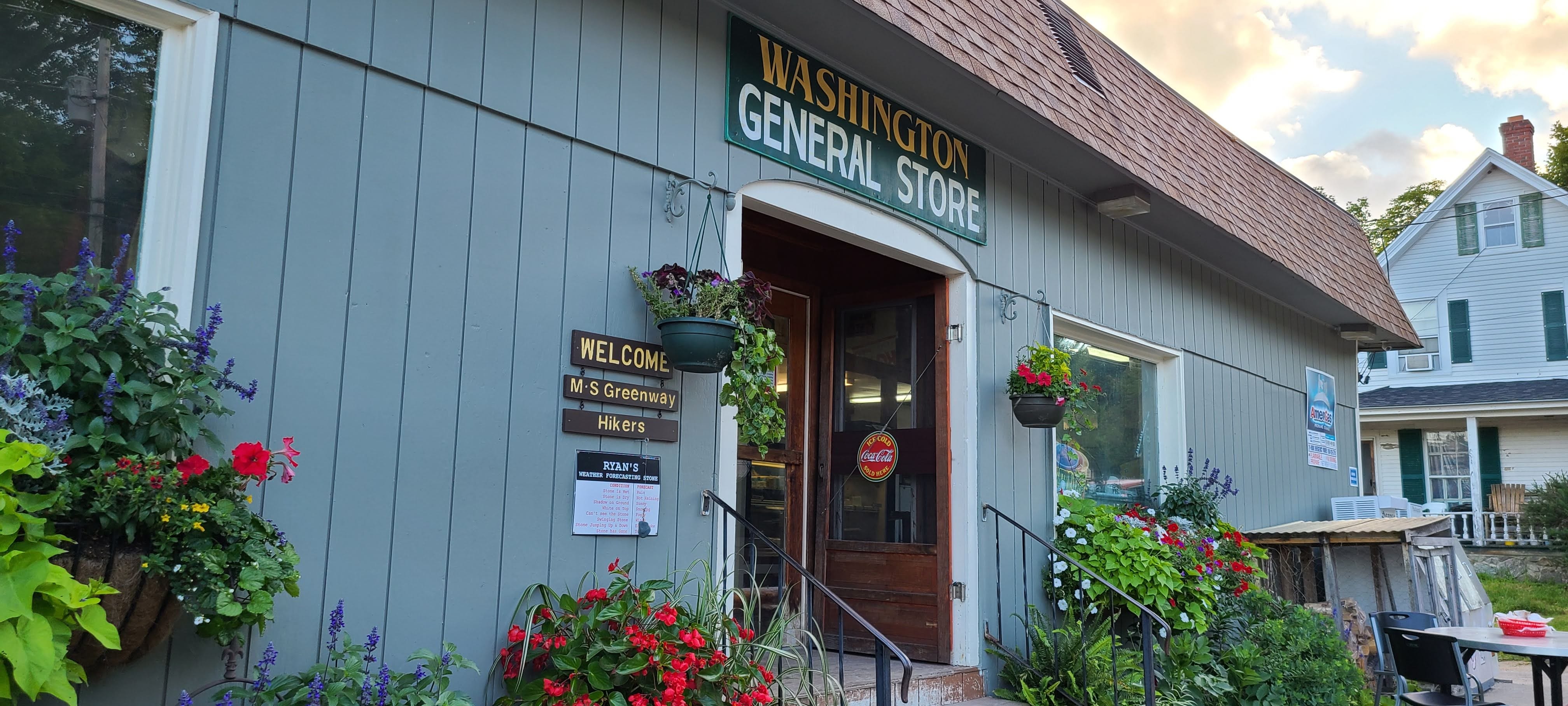
Megan hops out and we order some food. She gets a salad. I get fries and chicken tenders along with some cold drinks. The store supports the trail. They allow through hikers to get water for free and to dispose of any trash and use of the bathrooms. We eat lunch with P and Nema. They fill up their water bottles. Henry only has room for three, and P and Nema ask if we mind dropping them off on the class six road on the other side of Oak Hill. I leave Megan at the general store, and drive my sisters. The road is bumpy and wild. I drop Nema and P off and drive back to pick up Megan. This shaves four miles off Nema and P’s return hike to Pitcher mountain. My hike ends up being around eleven miles. And I could have kept going, but there’s no way in hell I wanted to go back up Oak Hill or Jackson, now that they were refreshed in my mind about how terrible they are. If I want to do a longer hike, it has to be point to point so I don’t remember too freshly what’s around the bend or over next the hill.


I love that you included pictures of how you've hiked and snowshoed the same wonderful trail again and again. We should figure out how to finish your hike.